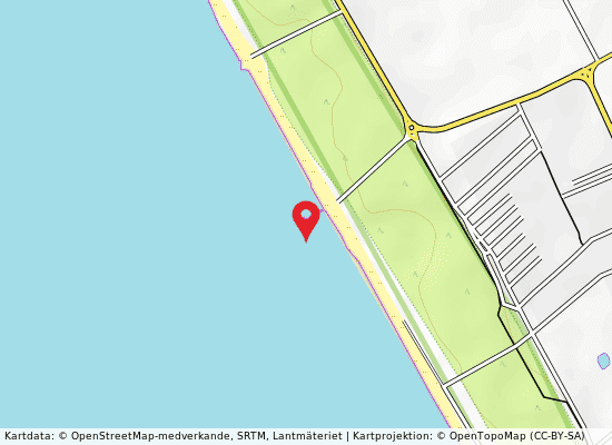
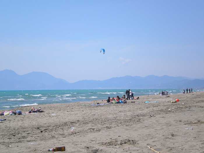
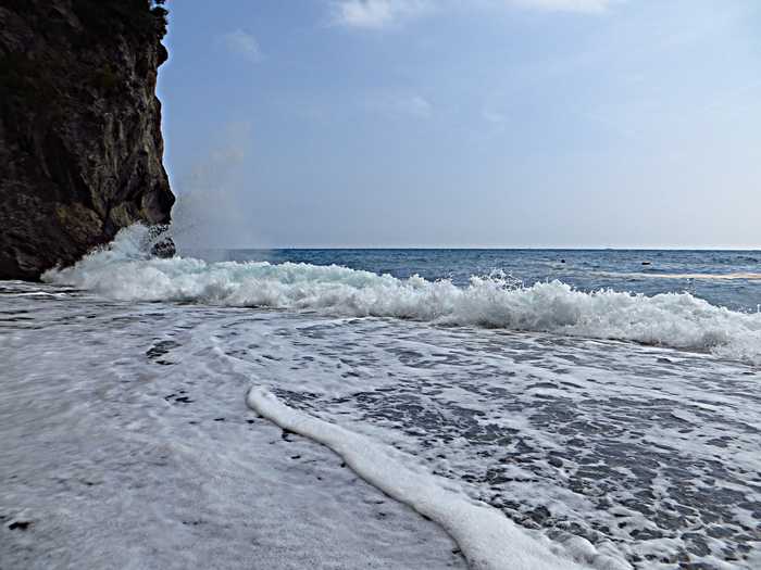
Spiaggia di Varolato

Rating: 0.0/5 (0)

  • Water temp(satellite):
  • 24.6°C
  • 2024-09-20

Varolato, located in the province of Salerno, is a sandy beach with various tourist facilities and buildings along the coast.

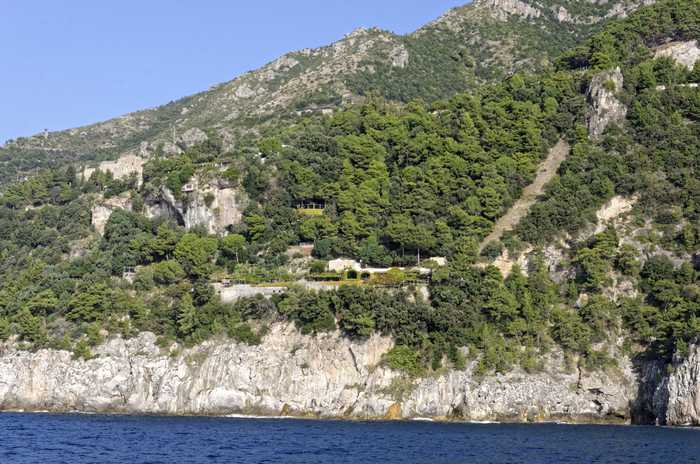
In addition to the coastline, there are vast areas of coastal pinewoods and agricultural lands inland. The mouth of the Sele River is roughly 1 km north of the stretch.

Uv-index
Varolato på kartan
Report water temp:

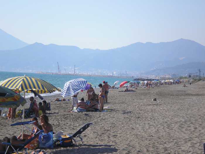
Photos near Varolato

Do you have a nice picture from Varolato?
By uploading an image, you certify that you own the image and that it may be displayed on beachesitaly.com

Reviews of Varolato

No reviews of Varolato yet...
Please help the next visitor by writing a few lines about the beach, are there toilets? Is it shallow? Is there a jetty or maybe a kiosk?
What do you think of the beach?

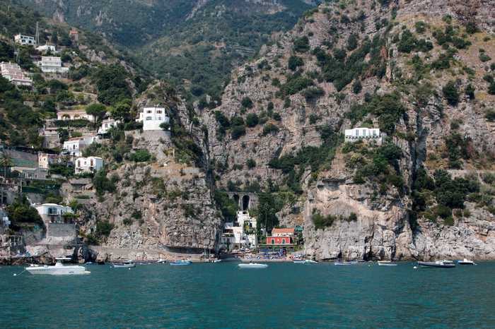
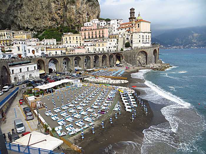
Popular beaches near Salerno

UserMatthiasKabel
Photo: UserMatthiasKabel CC BY-SA 3.0
Vettica maggiore Vettica Maggiore, located in the province of Salerno, is a rocky beach with a high coastline comprising jagged, terra...
Giuseppe Pepe
Photo: Giuseppe Pepe CC BY 3.0
Sp. libera tra il fuorni e il picentino This is a sandy beach located in the province of Salerno that is accompanied by buildings along the coastline. The co...
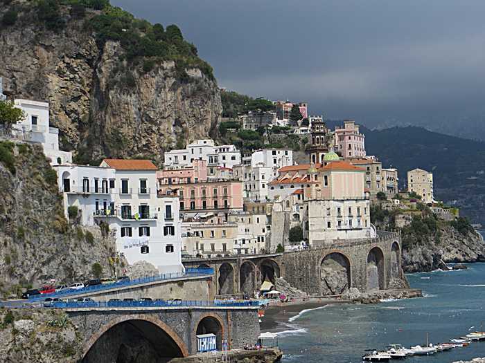
Mister No
Photo: Mister No CC BY 3.0
Spiaggia di atrani Spiaggia Di Atrani is a sandy beach located in the province of Salerno. The coastline is known for its jagged rocky t...
Mister No
Photo: Mister No CC BY 3.0
Spiaggia scogliera Spiaggia Scogliera, located in the province of Salerno, features a jagged and rocky coastline with high, sub-vertical...
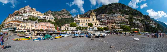
Mihael Grmek
Photo: Mihael Grmek CC BY-SA 4.0
Spiaggia grande Spiaggia Grande is a sandy beach located in the province of Salerno, characterized by a high coastline and a rocky sh...
© Ra Boe  Wikipedia
Photo: © Ra Boe Wikipedia CC BY-SA 3.0 de
Torre normanna di capo d'orso Torre Normanna is a rocky beach located in the province of Salerno with a high, carbonate coastline and slopes covere...
Giuseppe Pepe
Photo: Giuseppe Pepe CC BY 3.0
Campolongo primo Campolongo Primo is a sandy beach located in the Salerno province. The coastline is well-equipped with tourist facili...
Mister No
Photo: Mister No CC BY 3.0
Castiglione Castiglione is a beach located in the province of Salerno that is characterized by both rocky and sandy terrain. The ...

Beaches close to Varolato

La laura ⟼ 1.5 km
Laura is a sandy beach located in the province of Salerno, boasting a coastline dotted with buildings and tourist amenities. The low coastline is characterized by extensive coastal pine forests and inland settlements.
Villaggio merola ⟼ 1.9 km
Villaggio Merola is a picturesque beach located in the province of Salerno. It boasts a long stretch of sandy coast and is equipped with excellent tourist facilities. The coastline is low and surrounded by vast stretches of pinewoods and agricultural areas further inland. It is situated at the mouth of the Sele river, making it a truly unique and enchanting destination.
Casina d'amato ⟼ 3.4 km
Casina D'Amato is a sandy beach located in the province of Salerno. It features a coastline dotted with buildings and tourist facilities. The surrounding area has a low coastline with vast stretches of pine forests and residential areas complemented by inland agricultural fields. Additionally, this stretch of beach is situated south of the Reclamation Channel's mouth.
Nord fiume sele ⟼ 4.3 km
Nord Fiume Sele, located in the province of Salerno, boasts a sandy beach with a gently sloping coastline. The area is surrounded by extensive coastal pine forests and farmland further inland. Tourist facilities are located along the beach. Additionally, the mouth of the River Sele is situated to the south of the beach stretch.
Ponte di ferro ⟼ 4.3 km
Ponte Di Ferro beach, located in the province of Salerno, boasts a sandy coastline accompanied by an array of well-maintained buildings and tourist facilities for visitors to enjoy. The beach area also features a low coastline, characterized by extensive coastal pinewoods, inhabited settlements, and agricultural pockets further inland. Notably, the beach also marks the site of the mouth of the Reclamation Channel.
Licinella ⟼ 5.6 km
Licinella is a sandy beach located in the province of Salerno, surrounded by buildings and various facilities to accommodate tourists. Along the coast, there are vast areas of pinewoods, as well as residential and agricultural areas inland, creating a low coastline. The area also includes the mouths of the Canale di Bonifica and the Capo di Fiume stream.
Macchia campolongo ⟼ 6 km
Macchia Campolongo is a sandy beach located in the province of Salerno. It boasts a low coastal line and wide areas of coastal pinewood, as well as agricultural lands further inland. At the southern end of the beach is the mouth of the River Sele.
Torre di paestum ⟼ 7.2 km
Torre Di Paestum is a sandy beach situated in the province of Salerno, featuring tourist facilities and buildings. Alongside the coast, there are small pinewood areas and inhabited settlements, interspersed with inland agricultural land. The beach is characterized by a low coastline, with the mouth of the Capo di Fiume torrent to the north and the Focedel Canale di Bonifica nearby.
Campolongo secondo ⟼ 8 km
Campolongo Secondo is a sandy beach located in the province of Salerno. It features tourist facilities and buildings along the coastline. The low coastline is characterized by coastal pinewoods, inhabited settlements, and agricultural areas inland.
Foce acqua dei ranci ⟼ 8.6 km
Foce Acqua Dei Ranci is a sandy beach located in the province of Salerno, characterized by a coastline dotted with buildings and tourist facilities. The low-lying coast boasts a mix of residential settlements and agricultural areas towards the inland. The Torrente Acqua dei Ranci runs through the center of the area while the mouths of the Canali di Bonifica are situated to the north and south.
Beaches Italy Source: Ministry of Health, users of the site and the province of Salerno.
Weater forecast: Yr.no
Source of satellite-read water temperature: Copernicus Sentinel satellite data from the European Space Agency.
This website uses the Flickr API but is not endorsed or certified by Flickr.