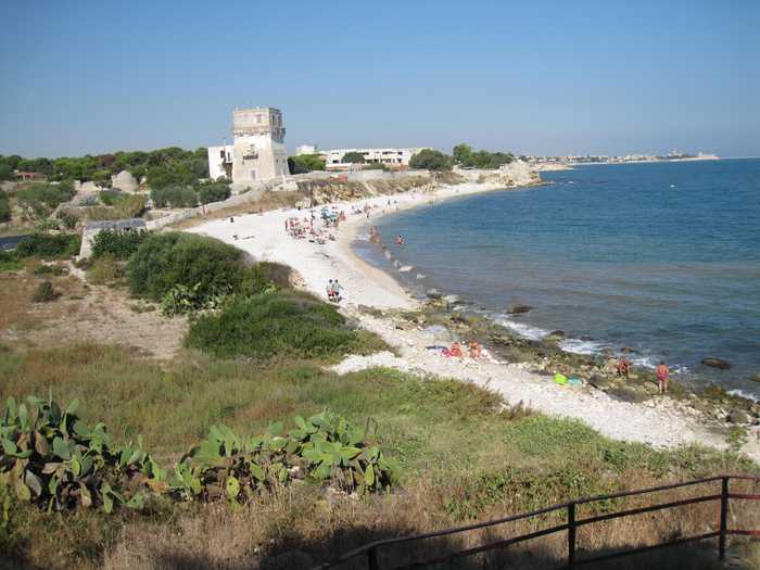
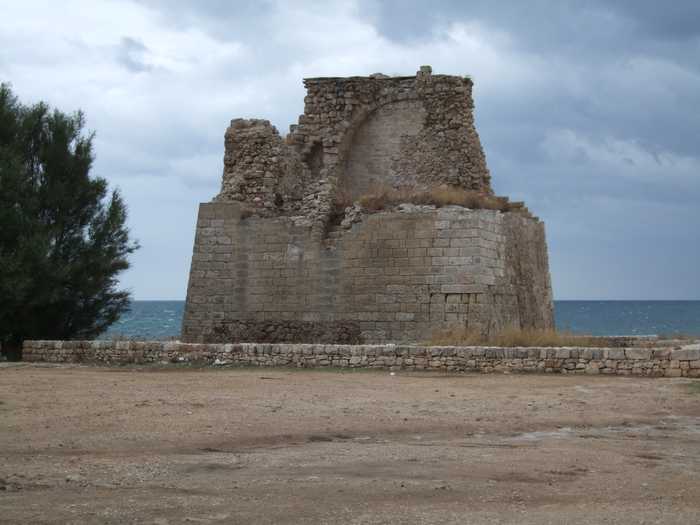
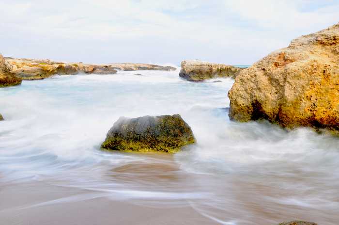
Spiaggia di Loc. pantano 100 mt nord
- Water temp(satellite):
- 13.8°C
- 2025-04-10
This is a rocky coast beach located in the province of Bari.
The area is known for its fossilised hydrographic network and irrigation channels. The majority of the area is used for agriculture and human activities related to land use may contribute to potential sources of diffuse pollution carried by surface waters.
Uv-index

Photos near Loc. pantano 100 mt nord
Reviews of Loc. pantano 100 mt nord
Popular beaches near Bari
Scogliera - scalette
Scogliera-Scalette is a beach located in the province of Bari. It features a sandy beach at the foot of a cliff.
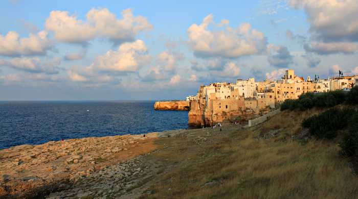
Torre cintola
Torre Cintola is a beach located in the province of Bari known for its beautiful cliffs.
Ditta gallo - iurlo
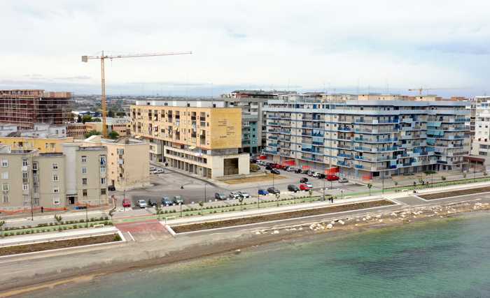
Ditta Gallo-Iurlo is a rocky beach located in the province of Bari. The area is heavily industrialized and urbanized,...
Pozzovivo (marmeria)
Pozzovivo (Marmeria) is a cliffside beach located in the province of Bari.
La mandia (200 m nord)
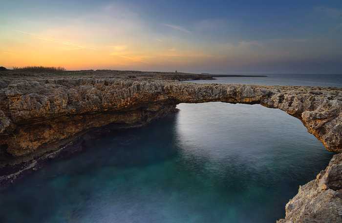
Falesia is a beautiful beach located in the province of Bari.
Scarico emergenza eaap
This is a beach located in the province of Bari that features a sandy shoreline nestled at the base of a cliff.
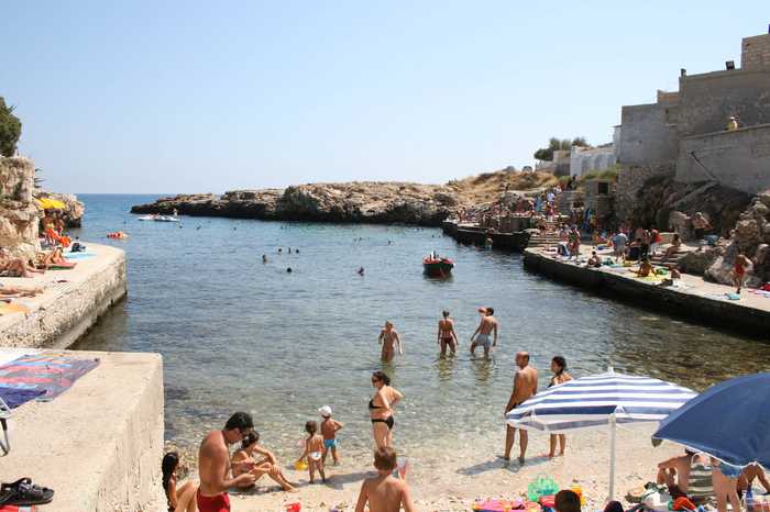
Porto paradiso
Falesia, located within the province of Bari, is a beautiful beach known as Porto Paradiso.
Ex fogna cit.na polignano 500 mt nord
Falesia is a beach located in the province of Bari.