Please help the next visitor by writing a few lines about the beach, are there toilets? Is it shallow? Is there a jetty or maybe a kiosk?
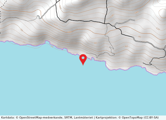
Beaches close to Punta tenna
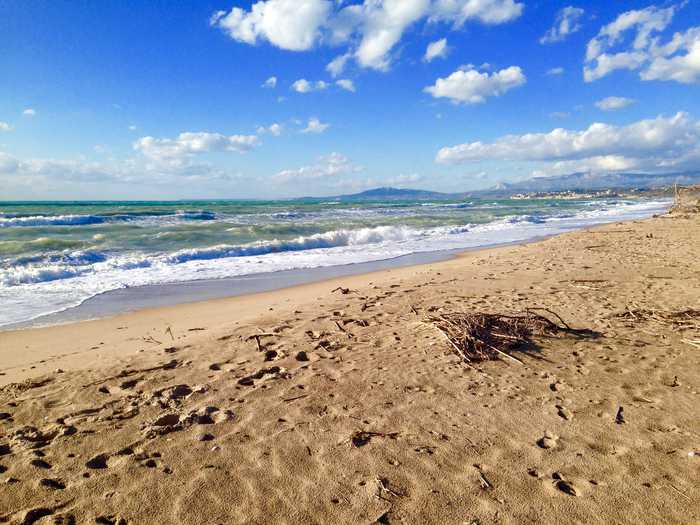
This is a pebbly beach located in the province of Agrigento. The submerged and emerged beach has a low slope and is surrounded by typical Mediterranean vegetation. The terrain leading to the beach is steeply sloped. Animals are allowed access as there are no prohibition signs. The competent authority is the Town council of Palma di Montechiaro, Via Fiorentino.The location area extension and altitude are not provided as they are only applicable to lakes and rivers. The bathing water quality is classified as excellent, based on time series data analysis of concentrations of contamination parameters.The area of influence encompasses the entire catchment area associated with the bathing water. It is predominantly agricultural, with the catchment area of the Palma river being its name. The causes of pollution are due to the lack of a proper sewerage system and failing treatment plants that do not comply with the standards required by the Directive.
This is a pebbly beach located in the province of Agrigento. It has a low slope both underwater and above the waterline, and is accompanied by typical Mediterranean vegetation. The terrain leading up to the beach is steep. There are no signs prohibiting access for animals. The competent authority is the Town council of Palma di Montechiaro. The area extends for an unknown number of kilometers, and the altitude is unspecified because it is a beach. The quality of the water is classified as excellent based on the analysis of data from the past four years. The catchment area associated with the bathing water includes the River Palma, which is an urbanized area that contributes to pollution through poorly compliant wastewater treatment plants and a lack of data on the collection system.
Bar Falzone is a sandy beach located in the Agrigento province with a low slope on both the submerged and emerged beach areas. The terrain towards the beach is flat. This is currently no infrastructure or services available, and access for animals is allowed as there are no posted signs prohibiting it. The competent authority of the beach is the Palma di Montechiaro town council. The quality of bathing water is classified as excellent. The minor catchment area between the Naro and Palma rivers is the catchment area for the beach. The existing sewerage system collects waste water and is transported to the municipal sewage treatment plant via a lifting station, but unfortunately, the treatment plants do not meet the required standards set by the directive.
Bar Luna is a sandy beach located in the province of Agrigento with a low slope of the submerged and emerged beach and a flat terrain towards the beach. While there are no infrastructure or services available, access for animals is allowed as there are no signs prohibiting it. The competent authority responsible for this bathing water is the town council of Palma di Montechiaro. The area extension and altitude are not applicable. The water quality classification for this beach is excellent and is determined by analyzing time series of data on contamination parameters. The catchment area associated with the bathing water is a minor catchment area situated between the Naro and Palma rivers. The existing collector sewer system collects the waste water and transports it to the municipal sewage treatment plant. However, the treatment plants do not meet the required standards set by the directive.
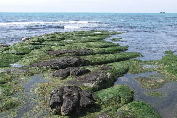
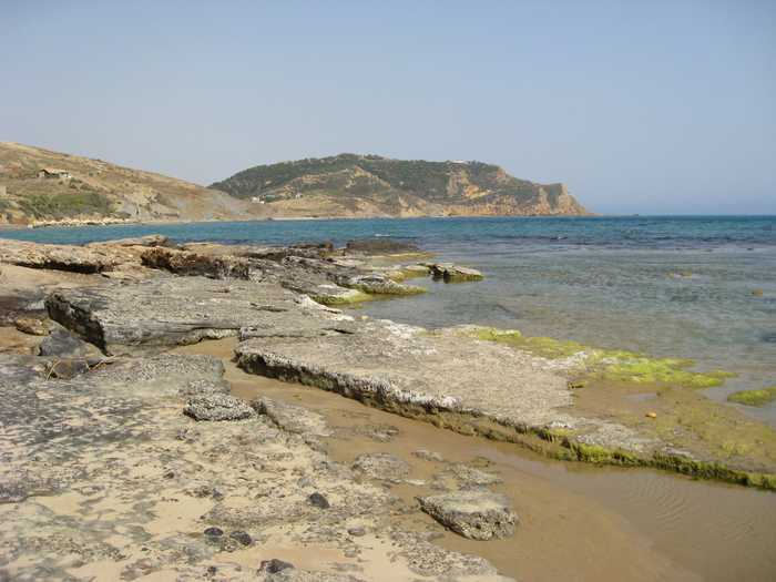
Zingarello is a rocky beach located in the province of Agrigento with a high slope both underwater and above water, and a steep terrain leading towards the beach. It does not have any infrastructure or services for bathers, but there are no signs or ordinances prohibiting access for animals. The competent authority for the beach is the town council of Palma di Montechiaro, located at Via Fiorentino. The area of the beach is not specified, but its altitude is not applicable since it is not a lake or river. The quality of the bathing water is classified as excellent, and this determination is made by analyzing time series of data from the last four years of contamination parameters and other relevant information. The area of influence for the beach includes the minor catchment area between the Naro and Palma rivers. The causes of pollution in the area include the existing collector sewer system which collects wastewater through lifting stations to the municipal sewage treatment plant. However, the treatment plants do not meet the required standards laid down in the directive.
Malerba is a sandy beach located in the province of Agrigento with a medium slope of both submerged and emerged beach. This scenic spot features Mediterranean vegetation and has a steep terrain leading towards the beach. Although there are no signs prohibiting entry for animals, there are no infrastructure or services to support bathers. The competent authority for this area is Palma di Montechiaro Town Council located at Via Fiorentino. Based on the analysis of contamination parameter data over the last four years, the bathing water quality at this location is classified as excellent. However, there is a possibility of pollution due to wastewater treatment, as the collection network is not in place, and the treatment plants do not comply with the required standards of the directive. The catchment area for Malerba is a primarily agricultural region located between Palma Montechiaro and Imera Meridionale.
Montegrande is a beach located in the province of Agrigento with a sandy beach and a moderate slope. The terrain leading to the beach is steeply sloping. Access for animals is allowed as there are no prohibition signs or ordinances in place. The competent authority is the Town Council of Palma di Montechiaro. The area extension and altitude are not specified. The water quality is classified as excellent, determined by analyzing contamination parameters over the past four years. The catchment area of the beach is a small, uncultivated area with Mediterranean scrub, located between the Naro and Palma rivers. This is an existing sewerage system for wastewater treatment, but it does not meet the required standards set by the Directive.
Torre Di Gaffe is a sandy beach located in the province of Agrigento. It features a medium slope both underwater and above water, typical Mediterranean vegetation, and a steep terrain leading down to the beach. Access for animals is permitted, with no signage prohibiting it. The competent authority responsible for the beach is the Municipality of Licata. The quality of the bathing water is classified as excellent based on at least four years of data analysis. The area around the beach is a mixed zone, including agricultural and urbanized sections with single housing units. The catchment area is small, between Palma and Imera Meridionale, and there is a lack of data available on the collecting and treatment network for wastewater. Additionally, the purification plants do not meet the necessary standards required by the directive.
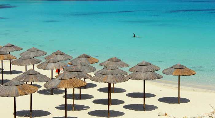
Pisciotto is a beach located in the province of Agrigento. It boasts a sandy beach with a medium slope both above and below the waterline, and is surrounded by typical Mediterranean vegetation and steeply sloping terrain. The number of bathers is unknown, but the area provides seasonal first aid and assistance services, a summer-only refreshment point, and allows animals access with no signs or ordinances prohibiting entry. The competent authority is the Municipality of Licata. The area is classified as excellent in terms of water quality, which is determined by analyzing a minimum of four years' worth of contamination data. However, the catchment area associated with the beach is described as mixed, with both agricultural and urbanized areas characterized by single housing units. The minor catchment area between Palma and Southern Imera is subject to pollution from wastewater treatment. Unfortunately, collecting and purification network data are unavailable, and the treatment plants do not meet the required standards.
Misita Zingarello is a beach located in the province of Agrigento, but currently there are no activities available.