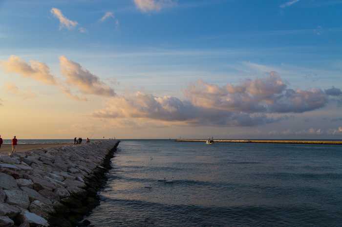
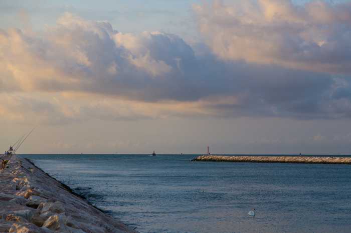
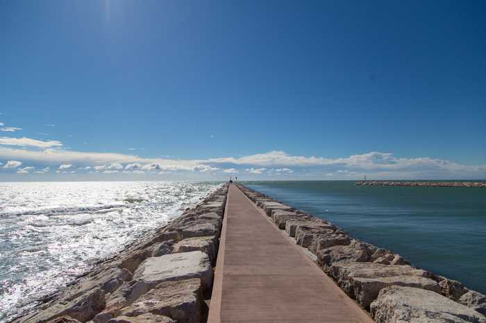
Spiaggia di Sx foce livenza
- Water temp(satellite):
- 12.8°C
- 2025-04-10
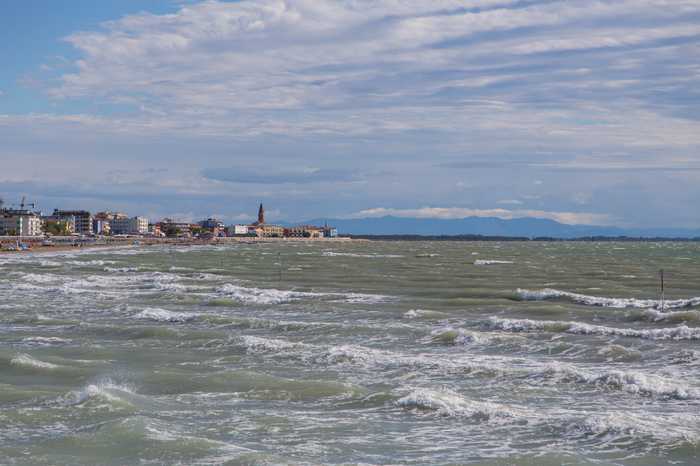
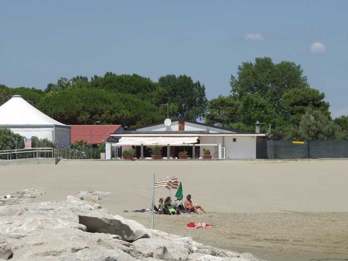
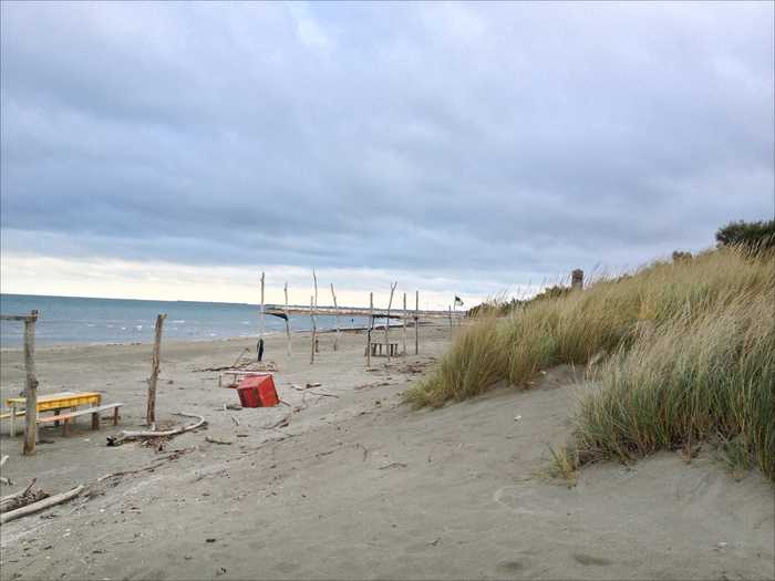
The beach is sandy.
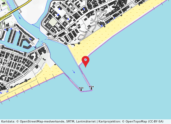
Infrastructure is nonexistent. The beach is located between the mouths of the Livenza river in the southwest and the Nicesolo canal in the northeast. The coastline follows a NE-SW axis.
Uv-index
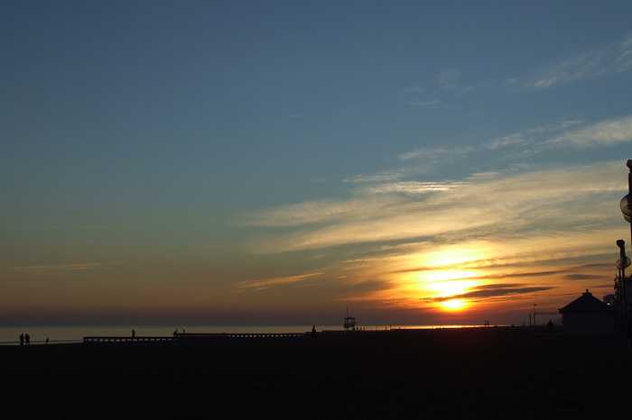
Photos near Sx foce livenza
Reviews of Sx foce livenza
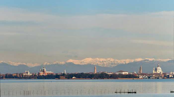
Popular beaches near Venezia
Venezia lido ospedale al mare
Sandy beach that is free.The little island that divides the northern part of the Venice Lagoon from the Adriatic Sea ...
Levante 50 m sud diga dx foce canale nicesolo
A beach with sand, facilities for public restrooms and refreshments, and enough parking.Boat rentals are available.Th...
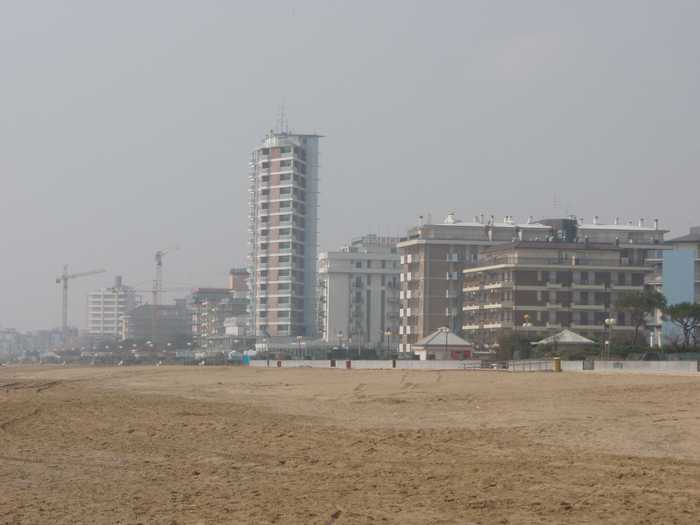
Jesolo lido via dalmazia
Urban beach with sand.Disabled access, restrooms, food service, sports facilities, and a lifeguard are all provided.C...
Venezia lido sorriso
The Lido di Venezia boasts a sandy beach, which is equipped with essential amenities for visitors convenience. The be...
Cavallino villaggio s. paolo
The sandy beach at Cavallino provides toilets (including ones for the disabled), assistance, a first aid station, lif...
Jesolo lido via galilei
A large sandy beach.Accessible amenities, Food and drink, Sports, Tent Sites, Showers, First Aid, and a Lifeguard Ser...
Pellestrina san vito
The sandy beach is a free beach located on the Pellestrina coastline along the southernmost of the islands separating...
Piazza marco polo lungomare venezia
Beach with sand.Activities include three different bathing facilities, each with its own kiosk; one waterslide; a cam...