roadmap
Photo: roadmap CC BY 3.0

Spiaggia di Via del sagittario

Rating: 0.0/5 (0)

  • Water temp(satellite):
  • 10.5°C
  • 2025-01-15

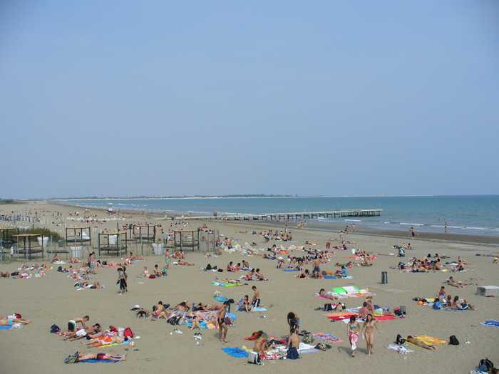
Sandy shore.

Services for the handicapped that include assistance and first aid. Restroom facilities. Points of refreshment. Sports facilities.Activities: boat rentals for water activities.Geographical details: From the Tagliamento river mouth (to the NE) to the mouth of the Lovi canal, the Bibione shoreline extends (to the SW). With a very high density of bathers throughout the summer, the shoreline is greatly anthropomorphized and altered by the presence of tourism amenities.

Uv-index
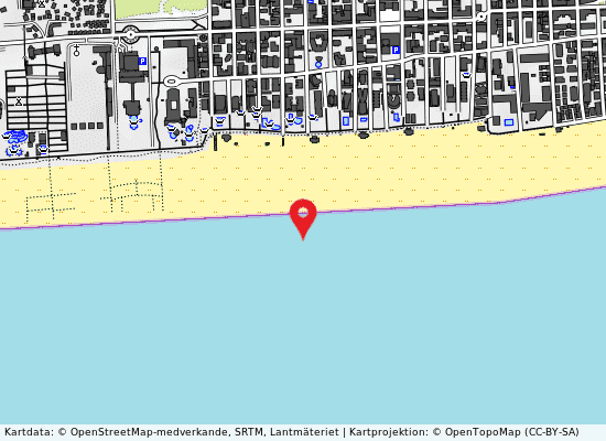
Via del sagittario på kartan
Report water temp:

Photos near Via del sagittario

Do you have a nice picture from Via del sagittario?
By uploading an image, you certify that you own the image and that it may be displayed on beachesitaly.com

Reviews of Via del sagittario

No reviews of Via del sagittario yet...
Please help the next visitor by writing a few lines about the beach, are there toilets? Is it shallow? Is there a jetty or maybe a kiosk?
What do you think of the beach?

Popular beaches near Venezia

Leandro Neumann Ciuffo
Photo: Leandro Neumann Ciuffo CC BY 2.0
Venezia lido ospedale al mare Sandy beach that is free.The little island that divides the northern part of the Venice Lagoon from the Adriatic Sea ...
Alessandro Gigliotti
Photo: Alessandro Gigliotti CC BY 3.0
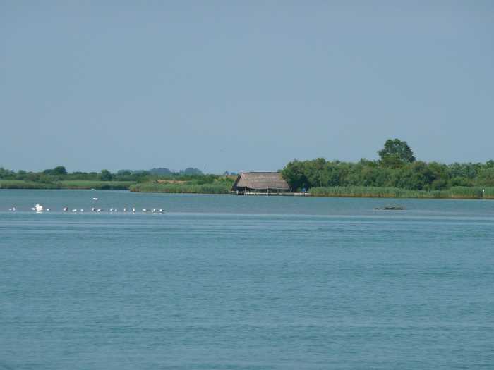
Levante 50 m sud diga dx foce canale nicesolo A beach with sand, facilities for public restrooms and refreshments, and enough parking.Boat rentals are available.Th...
SIG SG
Photo: SIG SG CC0
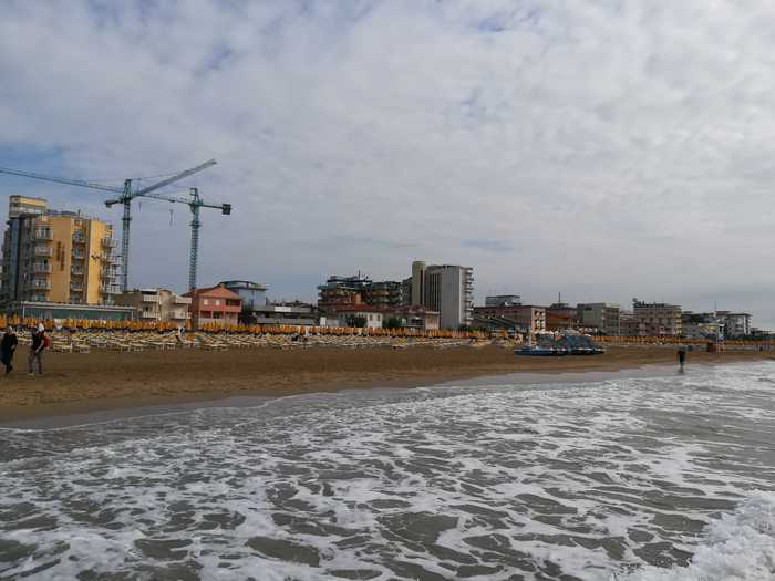
Jesolo lido via dalmazia Urban beach with sand.Disabled access, restrooms, food service, sports facilities, and a lifeguard are all provided.C...
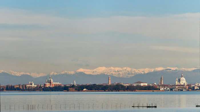
VirtualPano
Photo: VirtualPano CC BY-SA 4.0
Venezia lido sorriso The Lido di Venezia boasts a sandy beach, which is equipped with essential amenities for visitors convenience. The be...
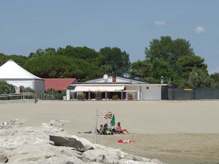
Andre Schade
Photo: Andre Schade CC BY 3.0
Cavallino villaggio s. paolo The sandy beach at Cavallino provides toilets (including ones for the disabled), assistance, a first aid station, lif...
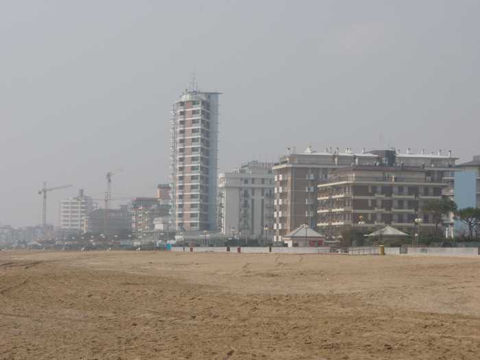
Mister No
Photo: Mister No CC BY 3.0
Jesolo lido via galilei A large sandy beach.Accessible amenities, Food and drink, Sports, Tent Sites, Showers, First Aid, and a Lifeguard Ser...
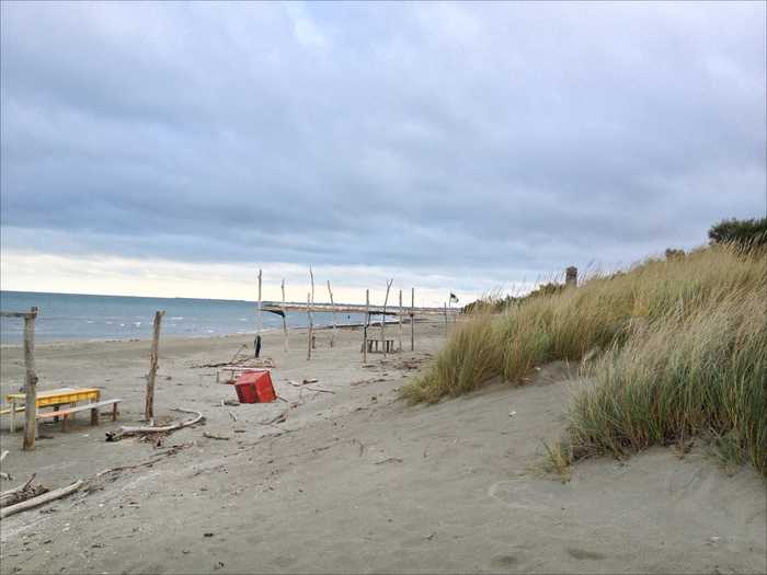
JeanPierre Dalbéra from Paris France
Photo: JeanPierre Dalbéra from Paris France CC BY 2.0
Pellestrina san vito The sandy beach is a free beach located on the Pellestrina coastline along the southernmost of the islands separating...
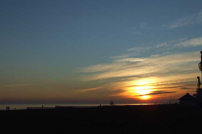
Lorenzo MICHIELLI
Photo: Lorenzo MICHIELLI CC BY-SA 3.0
Piazza marco polo lungomare venezia Beach with sand.Activities include three different bathing facilities, each with its own kiosk; one waterslide; a cam...
Beaches close to Via del sagittario

Bibione via veneto ⟼ 1.4 km
Sandy shore. Help and emergency medical care services for handicapped people. Restrooms and refreshment stations. Sports facilities.Recreational water sports.The Tagliamento river mouth (to the NE) and the mouth of the Lovi canal are the ends of the Bibione shoreline (to the SW). The existence of tourist amenities has greatly altered and anthropomorphized the beach, which experiences extremely high number of summer bathers.
Bibione via delfino ⟼ 1.5 km
A sandy beach.services of aid and first aid restroom amenities for the disabled.  Places for rest and recreation in sports.Boat rental for various watersports to occupy ones time.Locational details: From where the Tagliamento River empties into the Adriatic Sea (in the north-eastern direction) to where the Lovi Canal empties into the Mediterranean Sea (in the south) is what is known as the Bibione coastline (to the SW). The beach is set up for tourists, and there is a pine forest in the region to pique anyones attention. The Tagliamento River marks the northeastern border of the region. 
Bibione imbocco lama di revelino ⟼ 2.2 km
Imbocco Lamarevelino is a sandy beach located in the province of Venezia. It is a free beach that is not equipped with tourist facilities or services. The Bibione coastline runs from the mouth of the Tagliamento river in the northeast to the mouth of the Lovi canal in the southwest. The beach is surrounded by a pinewood area and does not have any tourist facilities or services. To the northeast, the regional boundary is defined by the Tagliamento River, and the orientation of the beach is along the northeast to southwest direction.
Bibione viale degli ontani ⟼ 2.8 km
Viale Degli Ontani is a sandy beach located in the province of Venezia. It forms a part of the Bibione coastline that extends from the mouth of the Tagliamento river in the northeast to the mouth of the Lovi canal in the southwest. This coast has undergone significant human interference and modification due to the presence of tourist infrastructure. During the summer months, the area experiences a high number of visitors. Approximately five buildings are situated in the vicinity.
Punta tagliamento ⟼ 4.8 km
This sandy beach is located on a peninsula in a highly urbanized coastal/lake area with maritime works and urban settlements. There are no services or infrastructure present on the beach. Despite this, visitors can still enjoy the natural beauty of the sandy shoreline and the surrounding views.
Bibione sponda sx foce canale dei lovi ⟼ 4.8 km
Sx Foce Lovi is a sandy beach located in the province of Venezia. The beach provides access to amenities such as assistance and first aid services, sanitary facilities, refreshment points, and sports facilities. The coastline of the beach stretches from the mouth of the Tagliamento river to the Northeast to the mouth of the Lovi canal to the Southwest. However, the area is highly modified by the presence of different tourist structures. Additionally, there is a large campsite in the area that sees a high density of bathers during the summer season. These buildings are situated roughly 5 kilometers away from the beach.
Camping riviera ⟼ 5.4 km
Camping Riviera is a sandy beach located in the province of Udine, offering amenities such as toilets, disabled facilities, and a bar/restaurant. The beach is situated on a peninsula in a coastal/lake area, which is densely populated with maritime works and urban settlements that are in close proximity to the shoreline.
Brussa sponda dx foce canale dei lovi ⟼ 6.5 km
Dx Foce Lovi is a sandy beach located in the province of Venezia. However, there are no constructed amenities in the area. The 5 km stretch of the beach is supported by only two daily car and camper van parks. The beach is situated between the SW mouth of the Lovi canal and the NE mouth of the Nicesolo canal. The entire territory remains untouched.
Pontile pineta ⟼ 6.9 km
Sandy beach, located on a peninsula in a highly urbanized coastal/lake area with maritime works and urban settlements, offers essential amenities such as toilets, disabled facilities, a bar/restaurant, and a first aid post. Visitors can enjoy the sandy shoreline and the natural beauty of the surrounding area, while still having access to essential services to ensure a comfortable and safe beach experience.
Brussa-centro ⟼ 8.3 km
Brussa-Centro is a sandy beach located in the province of Venezia. During the summer months, a lifeguard tower is available for beachgoers. The entire 5-kilometer stretch has two daily guarded car parks for cars and campers as well as some toilet facilities. The internal road network is well-regulated. The beach area lies between the mouth of the Lovi canal to the southwest and the mouth of the Nicesolo canal to the northeast. The entire territory is characterized by a lack of tourist facilities and equipment, offering visitors a free beach experience. A lush pine forest is situated behind the beach. Commuting bathers visit the area frequently during the summer. The beach orientation runs NE to SW.
Beaches Italy Source: Ministry of Health, users of the site and the province of Venezia.
Weater forecast: Yr.no
Source of satellite-read water temperature: Copernicus Sentinel satellite data from the European Space Agency.
This website uses the Flickr API but is not endorsed or certified by Flickr.