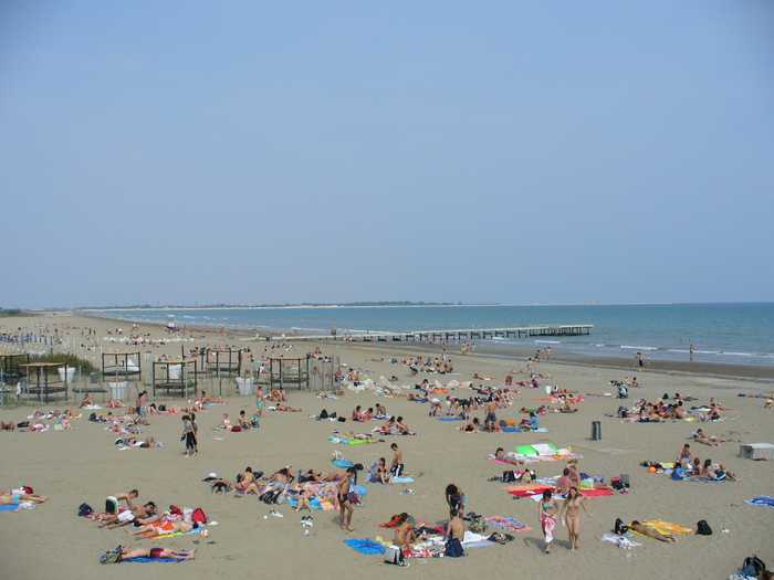
Spiaggia di 150m diga caroman

Rating: 0.0/5 (0)

  • Water temp(satellite):
  • 20.7°C
  • 2024-10-05

Diga Caroman is a sandy beach located in the province of Venezia.

It is a free beach located along the Pellestrina coastline in the southernmost part of the islands that separate the Venice Lagoon from the Adriatic Sea. The station is situated approximately 5 kilometers away.

Uv-index
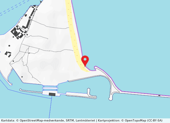
150m diga caroman på kartan
Report water temp:

Photos near 150m diga caroman

Do you have a nice picture from 150m diga caroman?
By uploading an image, you certify that you own the image and that it may be displayed on beachesitaly.com

Reviews of 150m diga caroman

No reviews of 150m diga caroman yet...
Please help the next visitor by writing a few lines about the beach, are there toilets? Is it shallow? Is there a jetty or maybe a kiosk?
What do you think of the beach?

Popular beaches near Venezia

Leandro Neumann Ciuffo
Photo: Leandro Neumann Ciuffo CC BY 2.0
Venezia lido ospedale al mare Sandy beach that is free.The little island that divides the northern part of the Venice Lagoon from the Adriatic Sea ...
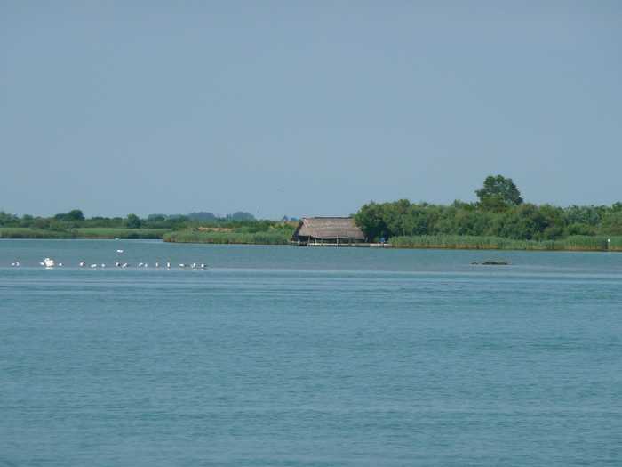
Alessandro Gigliotti
Photo: Alessandro Gigliotti CC BY 3.0
Levante 50 m sud diga dx foce canale nicesolo A beach with sand, facilities for public restrooms and refreshments, and enough parking.Boat rentals are available.Th...
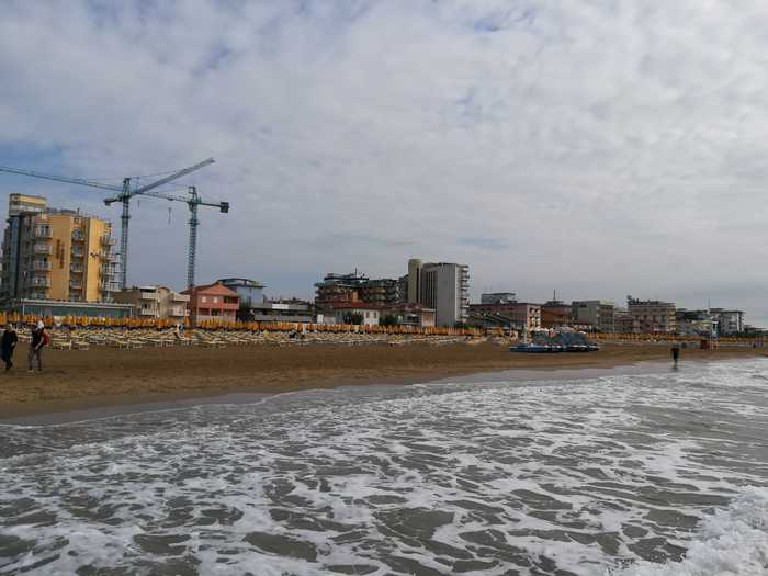
SIG SG
Photo: SIG SG CC0
Jesolo lido via dalmazia Urban beach with sand.Disabled access, restrooms, food service, sports facilities, and a lifeguard are all provided.C...
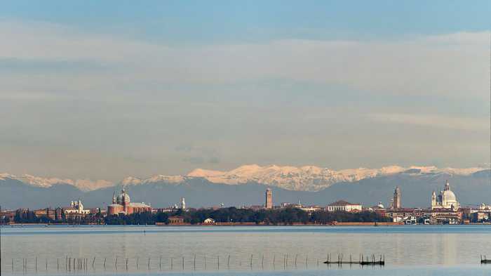
VirtualPano
Photo: VirtualPano CC BY-SA 4.0
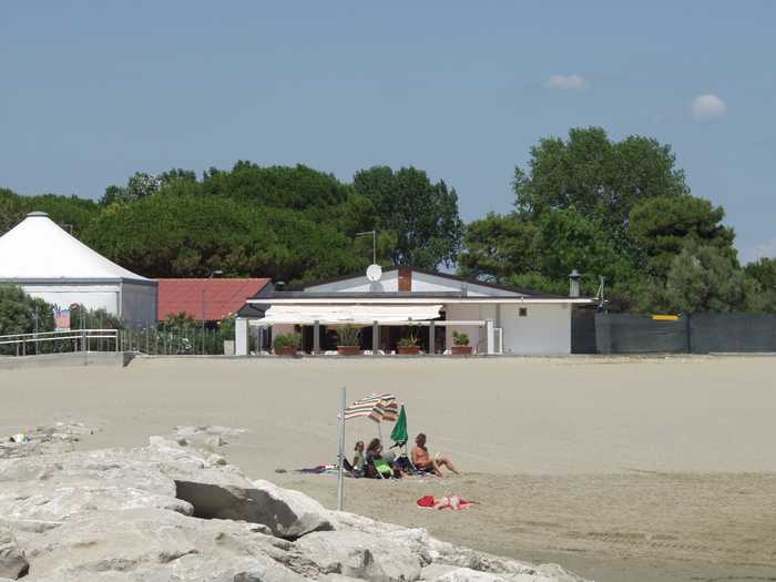
Venezia lido sorriso The Lido di Venezia boasts a sandy beach, which is equipped with essential amenities for visitors convenience. The be...
Andre Schade
Photo: Andre Schade CC BY 3.0
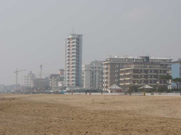
Cavallino villaggio s. paolo The sandy beach at Cavallino provides toilets (including ones for the disabled), assistance, a first aid station, lif...
Mister No
Photo: Mister No CC BY 3.0
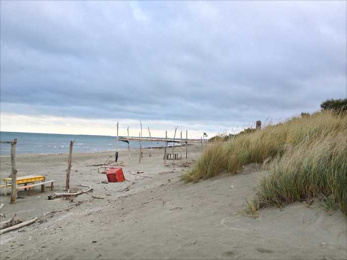
Jesolo lido via galilei A large sandy beach.Accessible amenities, Food and drink, Sports, Tent Sites, Showers, First Aid, and a Lifeguard Ser...
JeanPierre Dalbéra from Paris France
Photo: JeanPierre Dalbéra from Paris France CC BY 2.0
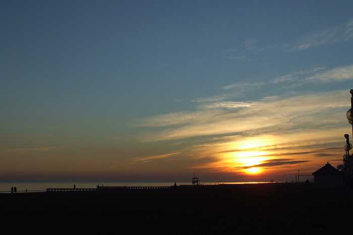
Pellestrina san vito The sandy beach is a free beach located on the Pellestrina coastline along the southernmost of the islands separating...
Lorenzo MICHIELLI
Photo: Lorenzo MICHIELLI CC BY-SA 3.0
Piazza marco polo lungomare venezia Beach with sand.Activities include three different bathing facilities, each with its own kiosk; one waterslide; a cam...
Beaches close to 150m diga caroman

Pellestrina caroman ⟼ 0.6 km
Caroman is a sandy beach located in the province of Venezia. It is a free beach and is situated along the southernmost coastline of the Pellestrina islands which separate the southern portion of the Venice Lagoon from the Adriatic Sea. The station is approximately 5 kilometers away from the beach.
Sottomarina 200 m sud diga s. felice ⟼ 1.1 km
200 meters from the town of Sottomarina in the Venice province, and is known as Diga S.Felice. This sandy beach provides a range of facilities such as assistance and first-aid services, services for the disabled, toilets, refreshments, sports facilities, and lifeguard towers at regular intervals. Visitors can also enjoy beach volleyball and various water sports activities, as well as hire boats. The coastline along the peninsula that separates the Lagoon of Venice and the Adriatic Sea to the south is approximately 5 km long. The equipped beach, which is oriented along the N-S axis, extends for about 2.2 km. Visitors can expect to see regulation and area delimitation signs as part of the beach's services.
Sottomarina 1000 m sud inizio diga s. felice ⟼ 1.8 km
Diga S.Felice is a beautiful sandy beach located in the province of Venezia. Visitors can enjoy various amenities such as first-aid services, assistance for disabled individuals, clean toilets, refreshments, and sports facilities. Lifeguard towers are positioned along the coastline at regular intervals, and a beach volleyball court is available for use. Water sports enthusiasts can rent boats and take advantage of regulation and delimitation signs. This particular stretch of beach is part of the Sottomarina coastline, which runs along the peninsula separating the Lagoon of Venice from the Adriatic Sea to the south. It spans approximately 5 km and faces the N-S axis. It's situated approximately one kilometer south of the port of Chioggia and four kilometers north of the Brenta river's mouth.
Pellestrina case matte ⟼ 2 km
The sandy beach is a free beach located on the Pellestrina coastline along the southernmost of the islands separating the southern portion of the Venice Lagoon from the Adriatic Sea. The beach is approximately 2.5 km from the N dam of the Chioggia inlet and is oriented N-S.
Sottomarina 1600 m sud inizio diga s. felice ⟼ 2.4 km
Diga S.Felice is a sandy beach located in the province of Venezia, offering assistance and first-aid services, amenities for the disabled, restrooms, refreshments, and sports facilities. Lifeguard towers are stationed at regular intervals along the coast, with a medical clinic also available. Visitors can engage in water sports, rent boats, and observe regulation and area delimitation signs. The Sottomarina coastline, which spans approximately 5 km, is situated on a peninsula between the Lagoon of Venice and the Adriatic Sea to the south. The equipped beach is oriented along the N-S axis and positioned around 1.6 km south of the Chioggia inlet.
Sottomarina 3000 m sud inizio diga s. felice ⟼ 3.7 km
3000M Diga S.Felice is a sandy beach situated in the province of Venezia. It offers a range of amenities, such as assistance and first-aid services, facilities for the disabled, refreshments, toilets, and sports facilities. Additionally, there are regular bathing assistance towers that run along the entire coastline. Visitors can enjoy various activities, including water sports, boat hire, and the use of designated areas marked out for specific purposes.The Sottomarina coastline is approximately five kilometers long and runs along the peninsula separating the Lagoon of Venice and the Adriatic Sea to the south. The equipped beach is oriented along a North-South axis and is situated about three kilometers from the mouth of the port of Chioggia and two kilometers from the mouth of the River Brenta.
Pellestrina san vito ⟼ 3.9 km
The sandy beach is a free beach located on the Pellestrina coastline along the southernmost of the islands separating the southern portion of the Venice Lagoon from the Adriatic Sea. The beach is approximately 4 km from the N dam of the Chioggia inlet and is oriented N-S.
Sottomarina 3800 metri sud inizio diga san felice ⟼ 4.4 km
3800M Diga S.Felice is a sandy beach located in the province of Venezia. It offers various services to beachgoers such as assistance and first-aid services, facilities for the disabled, toilets, refreshments, sports facilities, and lifeguard towers at regular intervals. Visitors can indulge in water sports activities during their visit. The Sottomarina coastline runs along the peninsula that separates the Lagoon of Venice and the Adriatic Sea to the south, stretching for approximately 5 km. The equipped beach is oriented along the N-S axis and is located roughly 3.8 km south of the Chioggia inlet and 1.2 km north of the River Brenta mouth.
Sottomarina 4600 m sud inizio diga s. felice ⟼ 5.1 km
The beach is sandy.Assistance and first-aid services, disability services, bathrooms, snacks, and sports facilities. Lifeguard towers are located at regular intervals along the coast.Water sports are available.The Sottomarina shoreline runs along the peninsula that separates Venices Lagoon from the Adriatic Sea to the south. It stretches for roughly 5 kilometres. The section in question is a well-equipped beach that runs north-south. It is approximately 4.6 kilometres south of the Chioggia inlet and approximately 4.
Pellestrina sant'antonio ⟼ 5.2 km
Sant is a sandy beach located in the province of Venezia, offering free access to visitors. It is part of the Pellestrina coastline, which runs along the southernmost islands separating the southern part of Venice Lagoon from the Adriatic Sea. The station is situated approximately 6 km north of the Chioggia inlet and 6 km south of the S dam of the Malamocco inlet. The beach is oriented along the N-S axis.
Beaches Italy Source: Ministry of Health, users of the site and the province of Venezia.
Weater forecast: Yr.no
Source of satellite-read water temperature: Copernicus Sentinel satellite data from the European Space Agency.
This website uses the Flickr API but is not endorsed or certified by Flickr.