Lorenzo MICHIELLI
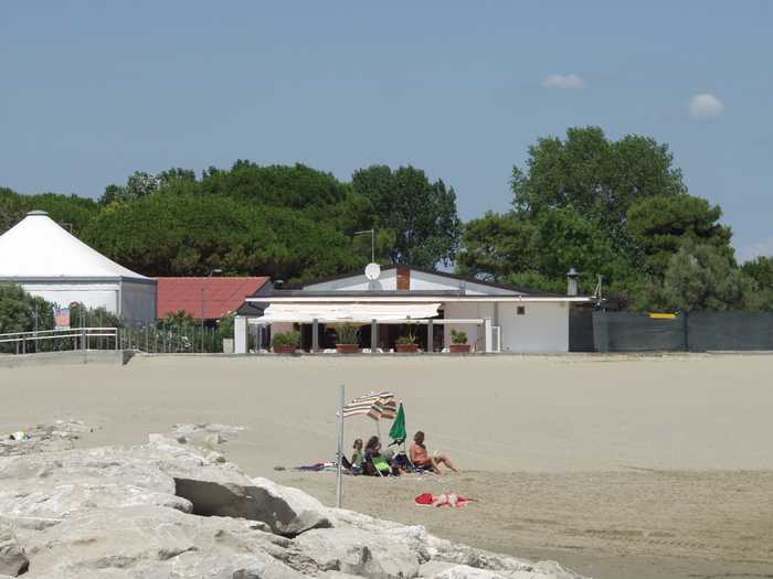
Photo: Lorenzo MICHIELLI CC BY-SA 3.0

Spiaggia di Piazza marco polo

Rating: 0.0/5 (0)

  • Water temp(satellite):
  • 10.9°C
  • 2025-01-15

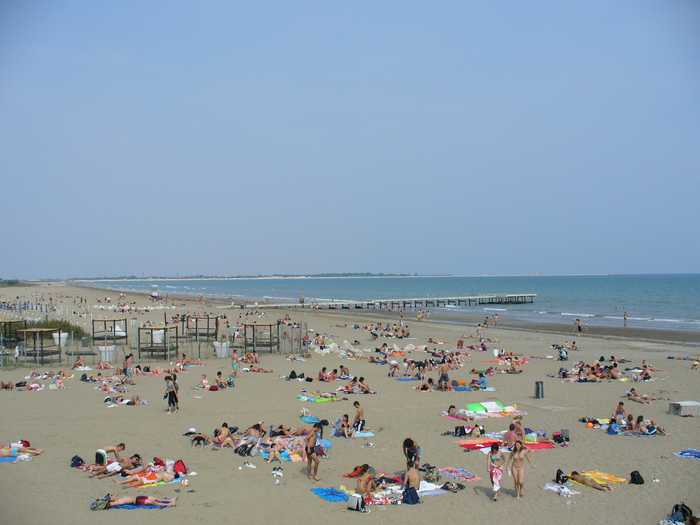
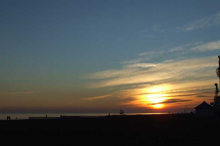
Beach with sand.

Activities include three different bathing facilities, each with its own kiosk; one waterslide; a camping area next to the public beach; and lifeguard towers, showers, toilets, and a few patches of grass.Boat rentals are offered.The shoreline may be found between the mouth of the Nicesolo canal to the north and the mouth of the Livenza river to the south. This is a geographical description of the area. This is a varied presence of tourism amenities along the shoreline.

Uv-index
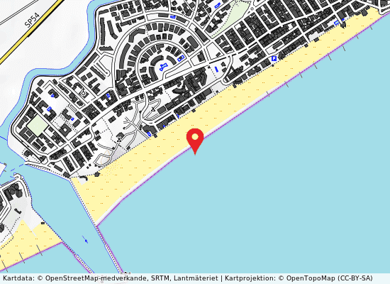
Piazza marco polo på kartan
Report water temp:

Photos near Piazza marco polo

gianca
Photo: gianca CC BY 3.0
Do you have a nice picture from Piazza marco polo?
By uploading an image, you certify that you own the image and that it may be displayed on beachesitaly.com

Reviews of Piazza marco polo

No reviews of Piazza marco polo yet...
Please help the next visitor by writing a few lines about the beach, are there toilets? Is it shallow? Is there a jetty or maybe a kiosk?
What do you think of the beach?

Popular beaches near Venezia

Leandro Neumann Ciuffo
Photo: Leandro Neumann Ciuffo CC BY 2.0
Venezia lido ospedale al mare Sandy beach that is free.The little island that divides the northern part of the Venice Lagoon from the Adriatic Sea ...
Alessandro Gigliotti
Photo: Alessandro Gigliotti CC BY 3.0
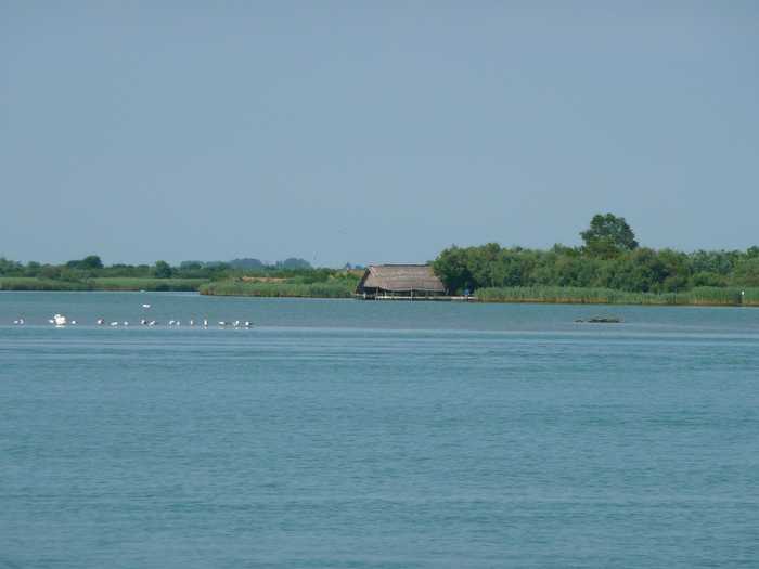
Levante 50 m sud diga dx foce canale nicesolo A beach with sand, facilities for public restrooms and refreshments, and enough parking.Boat rentals are available.Th...
SIG SG
Photo: SIG SG CC0
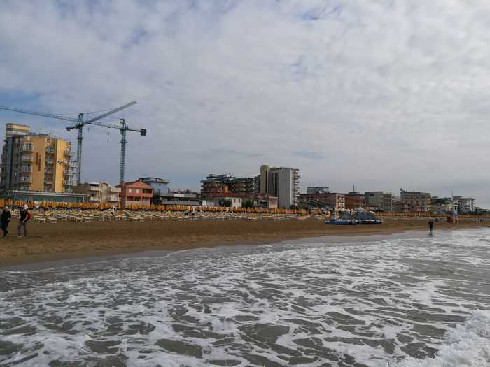
Jesolo lido via dalmazia Urban beach with sand.Disabled access, restrooms, food service, sports facilities, and a lifeguard are all provided.C...
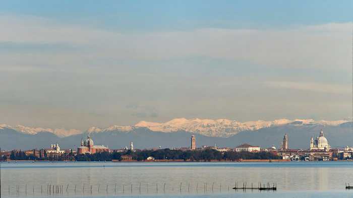
VirtualPano
Photo: VirtualPano CC BY-SA 4.0
Venezia lido sorriso The Lido di Venezia boasts a sandy beach, which is equipped with essential amenities for visitors convenience. The be...
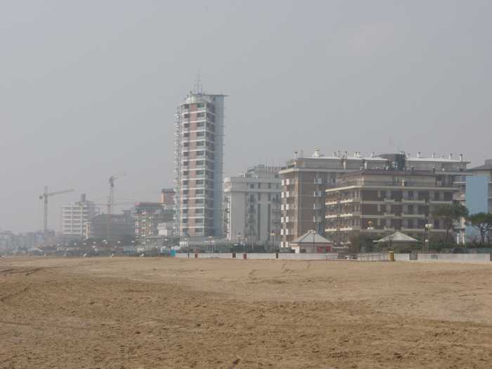
Mister No
Photo: Mister No CC BY 3.0
Jesolo lido via galilei A large sandy beach.Accessible amenities, Food and drink, Sports, Tent Sites, Showers, First Aid, and a Lifeguard Ser...
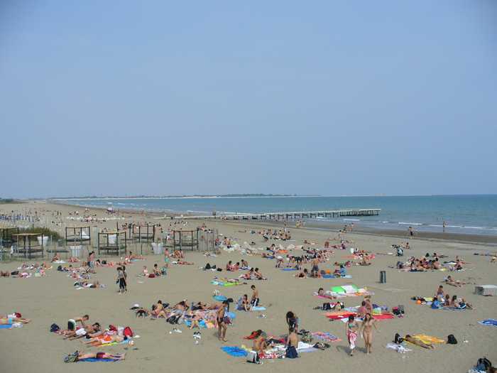
Leandro Neumann Ciuffo
Photo: Leandro Neumann Ciuffo CC BY 2.0
Venezia lido lungomare d`annunzio Sandy shore.A bar, restaurant, pizzeria, restrooms, accessible restrooms, showers, sports facilities, a playground fo...
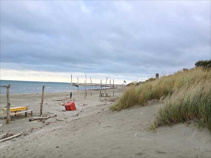
JeanPierre Dalbéra from Paris France
Photo: JeanPierre Dalbéra from Paris France CC BY 2.0
Pellestrina san vito The sandy beach is a free beach located on the Pellestrina coastline along the southernmost of the islands separating...
Andre Schade
Photo: Andre Schade CC BY 3.0
Cavallino villaggio s. paolo The sandy beach at Cavallino provides toilets (including ones for the disabled), assistance, a first aid station, lif...
Beaches close to Piazza marco polo

50 m nord diga sx foce fiume livenza ⟼ 0.5 km
The beach is sandy.Infrastructure is nonexistent. The beach is located between the mouths of the Livenza river in the southwest and the Nicesolo canal in the northeast. The coastline follows a NE-SW axis.
Porto s.margherita 50 m sud diga dx foce fiume livenza ⟼ 0.8 km
The beach is composed of sand.Infrastructure is nonexistent. The beach stretches from the Livenza Rivers mouth to the NE and continues all the way to the regions border with Duna Verde. Summer dwelling complexes and tourist amenities are present along this stretch of shoreline.
Via d`annunzio fine lungomare petronia ⟼ 1 km
Beach with sand.Five different bathing facilities, each equipped with a kiosk, a lifeguard tower, a first aid desk, showers, and a few patches of grass. Activities include renting out boats.The seashore may be found between the opening of the Nicesolo canal in the north and the opening of the Livenza river in the south.The backshore has been colonized by humans, and there is a diverse collection of tourist amenities there.The coastline runs in a direction that is northeast to southwest.
Madonna dell`angelo ⟼ 1.9 km
Madonna Dell'Angelo is a rocky beach located in the province of Venezia, surrounded by cliffs and the sea. During the summer season, activities such as lifeguard towers and showers are available for visitors. The shoreline is constructed with an artificial reef and the beach station is approximately 2 km southwest from the Nicesolo canal outlet. The identification data includes information on the location, quality, and description of the beach.
Porto s.margherita piazzale portesin ⟼ 2 km
Porto S. Margherita is a sandy beach located in the province of Venezia. During the season, there are six bathing establishments, showers, toilets, and lifeguard towers available for visitors. Additionally, visitors can hire boats for recreational activities. The coastline extends from the mouth of the Livenza river in the northeast to the border with Duna verde. This area is known for its abundance of summer accommodation units and tourist facilities.
Spiaggia levante - via piemonte ⟼ 2.4 km
The beach is sandy.There are four different bathing businesses with kiosks, lifeguard towers, first aid stations, showers, and small green spaces. These amenities are only available during the summer months.The seashore may be found between the opening of the Nicesolo canal in the north and the opening of the Livenza river in the south.This is a wide variety of tourist amenities on the backside of the beach.The coastline runs in a direction that is northeast to southwest.
Spiaggia levante - via torino ⟼ 3.2 km
The beach is sandy.There are three campgrounds on the public beach, as well as two kiosks and lifeguard towers, however these facilities are only available during the summer months.Activities include renting out boats.The mouth of the Nicesolo canal is located to the northeast, while the mouth of the Livenza river is located to the southwest of the beach.The area beyond the beach has only a minor amount of human habitation, and there are a variety of tourist services located there.The coastline runs in a direction that is northeast to southwest.
Levante 50 m sud diga dx foce canale nicesolo ⟼ 3.8 km
A beach with sand, facilities for public restrooms and refreshments, and enough parking.Boat rentals are available.The seashore is between the opening of the Nicesolo canal in the north and the opening of the Livenza river in the south.The area beyond the beach has only a minor amount of human habitation, and there are a variety of tourist services located there.The coastline runs in a direction that is northeast to southwest.
Valle altanea strada brian mare ⟼ 3.9 km
Valle Altanea Brian is a sandy beach located in the province of Venezia. There are no activities offered outside of the season, but the beach has one campsite and one bathing establishment, both situated along the State-owned beach. The beach also has toilet facilities and lifeguard towers. The coastline stretches from the mouth of the Livenza river to the southeastern territorial border with Duna Verde. Recently, this stretch of coastline, referred to as Valle Altanea, has undergone allotment works to construct a tourist-equipped center with residences, individual villas, and other tourism facilities.
Brussa sponda sx foce canale nicesolo ⟼ 4.2 km
Sx Foce Nicesolo is a sandy beach located in the province of Venezia. While there are no available facilities, the 5 km-long area is regulated with two daily guarded car parks and some public restrooms. Visitors can participate in boat hire activities. The beach lies between the Lovi and Nicesolo canals, and is surrounded by a dense pine forest. It is a popular spot for summer bathers, though there are no available tourist amenities. The beach faces in the NE-SW direction.
Beaches Italy Source: Ministry of Health, users of the site and the province of Venezia.
Weater forecast: Yr.no
Source of satellite-read water temperature: Copernicus Sentinel satellite data from the European Space Agency.
This website uses the Flickr API but is not endorsed or certified by Flickr.